
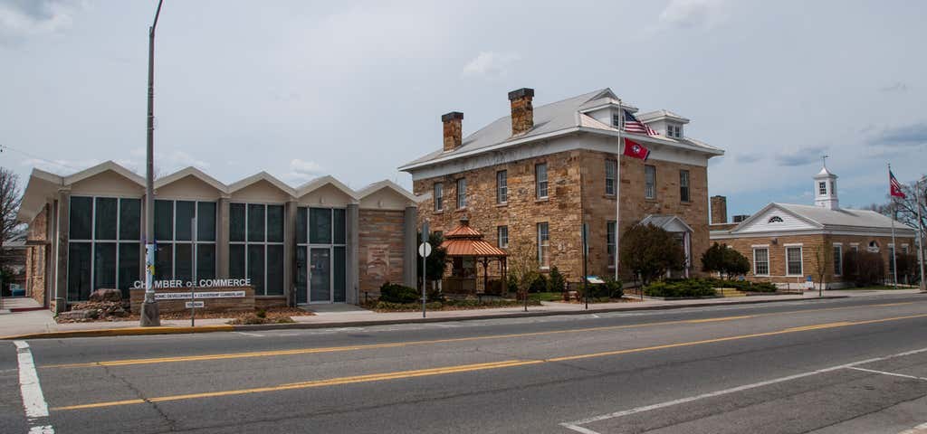
CROSSVILLE & CUMBERLAND COUNTY
Crossville, TN Weather
Local conditions, the hours ahead and your seven-day outlook. Weather data from the National Weather Service, presented by CrossvilleOnline.
Radar & more weather →Cumberland County weather alerts
Official NWS alerts ↗No active alerts in the latest available NWS feed.
Current alert status could not be verified. Check the official NWS page for the latest watches, warnings and advisories.
Alert feed checked: .
CROSSVILLE MEMORIAL AIRPORT · KCSV
Latest airport observation
68°F
Clear
- Wind
- 8 mph SSE
- Humidity
- 60%
Observed . Airport conditions may differ from other parts of the county.
Saved airport reading — check its observation time before using it.
Today & tonight
This saved forecast has ended. An updated forecast is needed; check the official NWS link below.
NWS updated . Forecast source checked. Last checked: .
The coming hours
70°F
Sunny
Rain chance 0%
72°F
Sunny
Rain chance 1%
72°F
Sunny
Rain chance 1%
72°F
Mostly Sunny
Rain chance 1%
73°F
Mostly Sunny
Rain chance 1%
71°F
Mostly Sunny
Rain chance 1%
69°F
Partly Sunny
Rain chance 1%
67°F
Partly Cloudy
Rain chance 3%
64°F
Partly Cloudy
Rain chance 4%
63°F
Mostly Cloudy
Rain chance 6%
62°F
Mostly Cloudy
Rain chance 7%
62°F
Mostly Cloudy
Rain chance 8%
The saved hourly outlook has ended. An updated forecast is needed.
NWS updated . Hourly source checked. Last checked: .
Seven-day outlook
TodayNov 3
Day
73°F
Sunny
Night
59°F
Mostly Cloudy then Slight Chance Showers And Thunderstorms
WednesdayNov 4
Day
67°F
Showers And Thunderstorms
Night
54°F
Showers And Thunderstorms Likely then Patchy Fog
ThursdayNov 5
Day
70°F
Areas Of Fog then Mostly Sunny
Night
46°F
Areas Of Fog
FridayNov 6
Day
67°F
Patchy Fog then Mostly Sunny
Night
39°F
Mostly Clear
SaturdayNov 7
Day
61°F
Mostly Sunny
Night
35°F
Partly Cloudy
SundayNov 8
Day
60°F
Mostly Sunny
Night
32°F
Slight Chance Rain Showers
MondayNov 9
Day
56°F
Mostly Sunny
Night
31°F
Mostly Clear
This saved seven-day outlook has ended. An updated forecast is needed.
NWS updated . Forecast source checked. Last checked: .
Weather data: National Weather Service ↗. Times are shown in Central Time. Readings and forecasts have different update times.
Automatically refreshes while this page is open.
Radar & more weather
Explore the full official forecast, regional radar and additional weather resources.

Regional radar
See precipitation around the Cumberland Plateau with the National Weather Service radar.
Open regional radar →Official Crossville forecast
Read the National Weather Service forecast and its latest local updates.
Open the NWS forecast →
AccuWeather
Compare another local forecast and extended outlook for Crossville.
Open AccuWeather →Airport observations
View the recent observation history for Crossville Memorial Airport, station KCSV.
View airport observations →Detailed hourly outlook
Explore the NWS hourly graph for temperature, wind and precipitation chances.
Open the hourly graph →NWS Nashville
Find regional weather information, watches and warnings from the local forecast office.
Visit NWS Nashville →